Guides
How to plan a stargazing road trip from Los Angeles to Death Valley
A Los Angeles to Death Valley stargazing drive, planned around moon phase, fuel gaps, BLM camping rules, telescope gear and the darkest viewing windows.
What to take away
- The Los Angeles basin's light dome reaches far into the Mojave, so the sky only improves once you climb past Palmdale and Mojave on State Route 14.
- Griffith Observatory is the warm-up, not a dark-sky stop. Red Rock Canyon State Park, about 120 miles out, is the first night worth setting up a telescope.
- Fuel gaps at Mojave, Ridgecrest and Panamint Springs decide how the day goes. Never pass a station below half a tank.
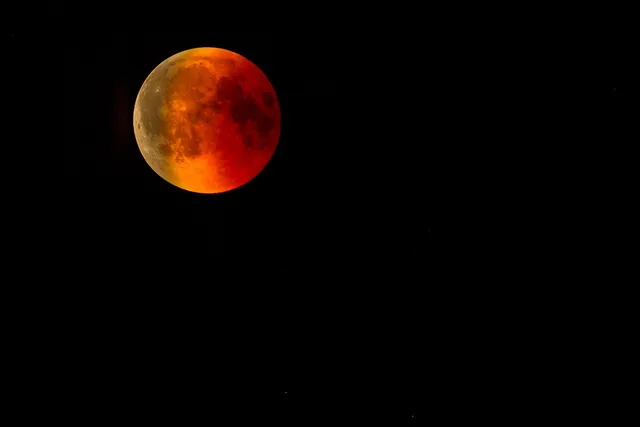
- Moon phase outranks everything else. A full moon cancels even a perfect forecast, so aim for the week around new moon.
- Dispersed camping on BLM land near Trona Pinnacles is free and has no facilities, no water and no reservations.
Why this route works for astronomy road trips
Los Angeles is a hard place to see stars. The metro light dome pushes deep into the Mojave, and even foothill viewpoints stay washed out.
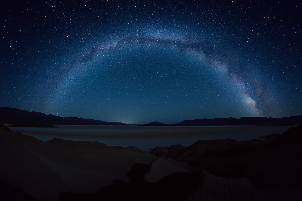
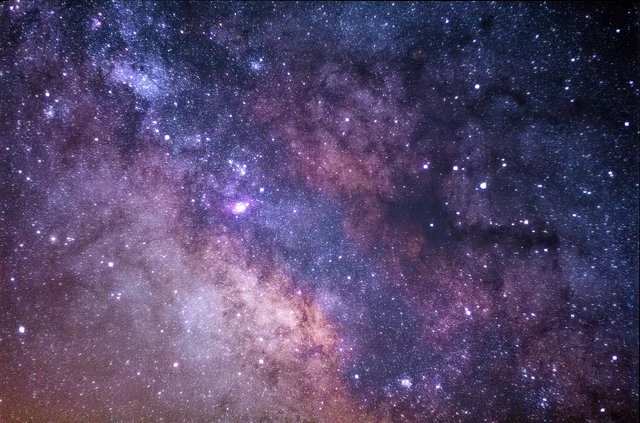
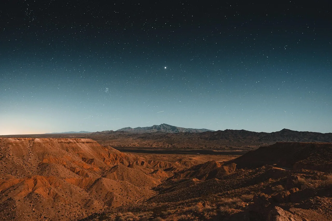
The same basin that traps that glow sits within a half day's drive of some of the darkest public land in California. State Route 14 and U.S. 395 climb out of the smog and into open desert. Two hours out, the sky improves noticeably. Four hours out, the Milky Way casts a shadow.
Death Valley National Park anchors the run. It is the largest national park in the contiguous United States and holds some of the darkest skies in the country. Rangers run night sky programs through the season, and the National Park Service lists official night sky events that may line up with your dates.
Two nights is the realistic minimum. For a version of this drive that keeps the clock out of the way, this two-night itinerary treats the sky as the fixed point and everything else as movable.
Stop one: Griffith Observatory, the light dome you are leaving
Start at Griffith Observatory. It opened in 1935 on the south slope of Mount Hollywood, and entry is free. Public telescopes sit on the lawn, and the terraces look straight down into the city's glow.
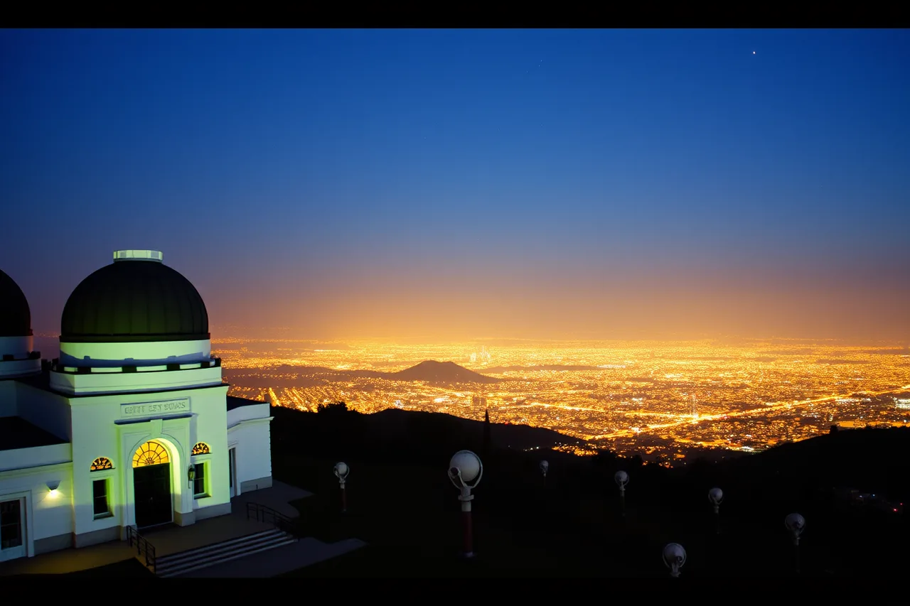
That glow is the reason to stop. Seeing the light dome from above teaches you what you are driving away from. On a clear night you can pick out the brighter constellations. The Milky Way is not happening here.
Arrive before sunset to catch the building and the view. Weekend parking fills fast, so come well before dusk. Griffith is a starting line, not an overnight stop.
From there, take the 101 or I-5 to State Route 14 toward Palmdale and Mojave. Traffic sets the timing, and a weekday evening beats a Friday by hours.
Stop two: Red Rock Canyon State Park, the first dark window
Red Rock Canyon State Park sits where the Mojave meets the Sierra, about 120 miles north of Los Angeles. The cliffs and badlands make a strong foreground, and the sky is a different class from the city.
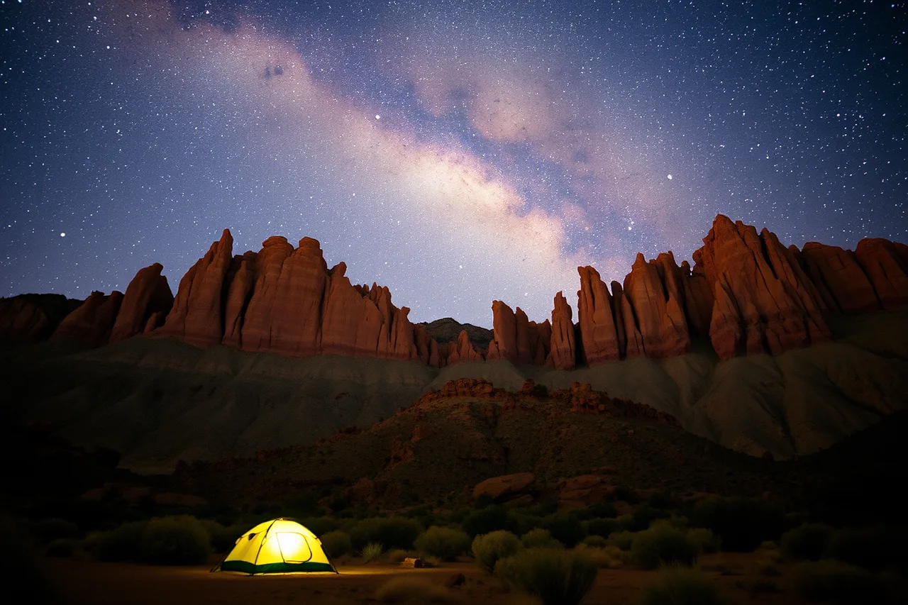
This is your first real dark window. The park is not IDA-certified, but on a moonless night the Milky Way core is visible to the naked eye. The park has a campground, and surrounding BLM land offers more options.
Use the Bureau of Land Management's public lands visit pages to find legal stargazing and camping along this stretch. The BLM manages much of the open desert here, and knowing which parcels allow camping keeps you out of trouble.
Spend one night if you can. It breaks up the drive and gives you a backup if clouds settle over Death Valley. If you want to stretch the route further, the stops worth adding to a longer desert run sit mostly east of here.
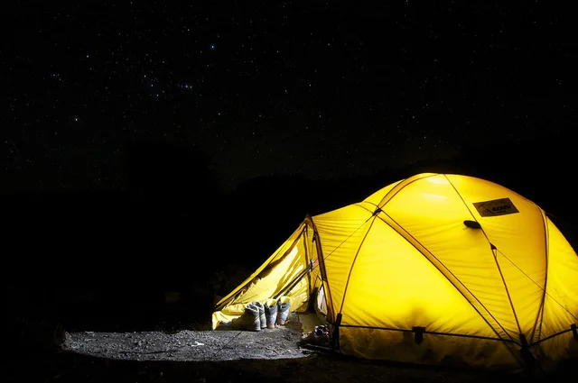
The campground is primitive. Bring water and expect vault toilets rather than showers. Wind funnels through the canyon after dark, so stake the tent properly.
Stop three: Trona Pinnacles and BLM dispersed camping
Trona Pinnacles is a field of tufa towers rising off the Searles Valley floor, about 60 miles east of Red Rock Canyon. The formations look like another planet, and the surrounding BLM land is open for dispersed camping.
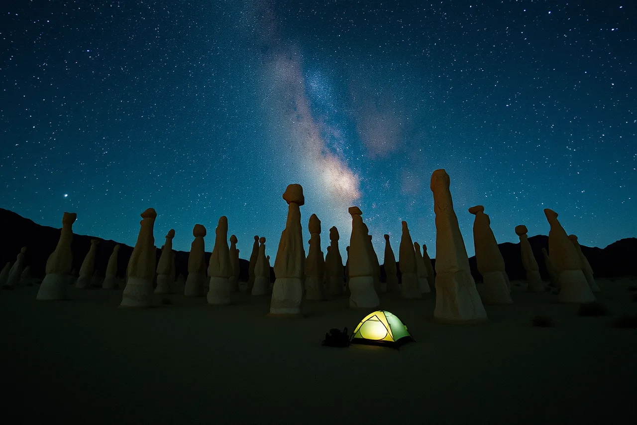
This is the most flexible stop on the route. Dispersed camping means no fees, no reservations and no facilities. You pick a spot on public land, stay one night and leave no trace.
Rules matter here. The BLM's Know Before You Go rules cover campfire restrictions, waste rules and staying on existing routes. Read them before you leave Los Angeles, not at the site.
For routing the public-land legs, official BLM land ownership maps show surface ownership and roads that consumer apps often miss. Cell service is unreliable on the valley floor, so download or print what you need before you go.
A night at Trona Pinnacles is quiet and dark. The town of Trona is small, and the Ridgecrest light dome sits low on the horizon. The Milky Way core arcs over the pinnacles through summer.
Stop four: Death Valley and its viewing windows
Death Valley National Park is about 90 miles northeast of Trona Pinnacles via State Route 190. The park is enormous, and the darkest skies sit well away from the main visitor areas.
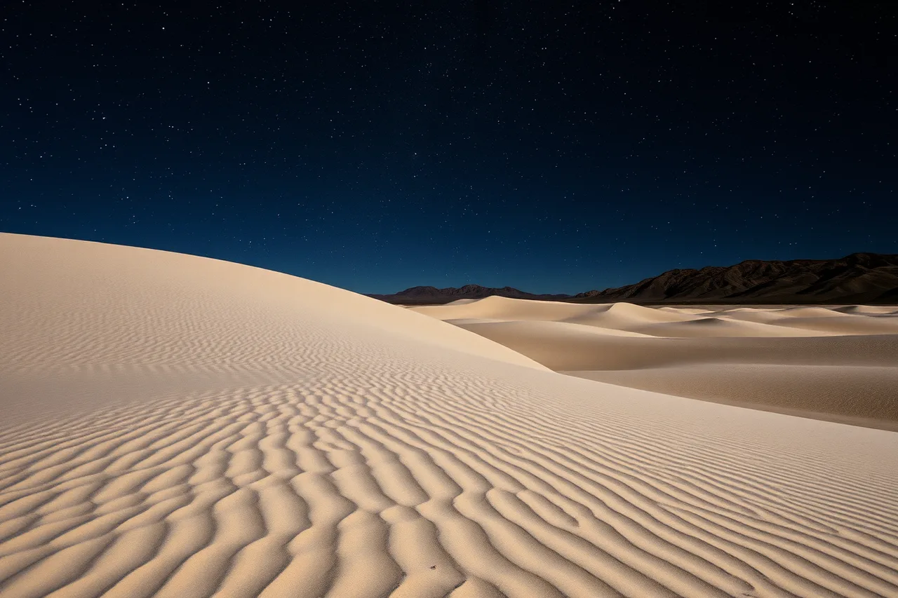
The best viewing windows are simple: from the end of astronomical twilight until dawn. That means roughly 9 p.m. onward in summer and earlier in winter. The moon decides everything else, and a bright moon cancels even a perfect forecast.
Good spots include the Mesquite Flat Sand Dunes, Badwater Basin and the area around Ubehebe Crater. Each has open horizons and minimal local light. Furnace Creek and Stovepipe Wells have the most amenities and by far the most glow.
The park runs ranger-led night sky programs in season, so check schedules on arrival. If you would rather let one clear night do all the work than chase several, this guide to seeing the sky without rushing the trip is the right frame.
Driving distances, fuel stops and the gaps between them
This is a long drive with real gaps. Plan fuel around the legs below, and never pass a station when your tank is below half.
Driving distances, fuel stops
| Leg | Distance | Fuel stop | Notes |
|---|---|---|---|
| Los Angeles to Red Rock Canyon | ~120 mi | Mojave | Last easy services before the park |
| Red Rock Canyon to Trona Pinnacles | ~60 mi | Ridgecrest | Full-service town, stock up here |
| Trona Pinnacles to Death Valley | ~90 mi | Panamint Springs | Limited hours, high prices |
| Death Valley to Los Angeles | ~300 mi | Olancha or Mojave | Long return, plan two stops |
Distances are approximate and depend on where in Los Angeles you start. The return leg is the one that catches people out. After a night of observing, driving 300 miles is hard, so build in a rest stop or a second night.
Panamint Springs and Stovepipe Wells sell fuel inside the park at prices well above the valley average. Fill up in Ridgecrest and top off again before you drop into the park.
For weather, check the National Oceanic and Atmospheric Administration's weather forecasts before you commit. Desert wind and summer heat change plans fast, and a clear forecast is the whole game.
Timing the trip around moon phase and the Milky Way core
Moon phase is the single biggest factor. A full moon washes out the Milky Way. A new moon gives you the darkest sky. Aim for the week around new moon, then check cloud cover for the same dates.
The Milky Way core is visible in the Northern Hemisphere from roughly March to October, with the best views in summer. In Death Valley the core rises in the southeast and climbs high after midnight in June and July.
Here is a planning sequence:
Timing the trip
- Pick a new moon date inside your travel window.
- Check the desert forecast and shift by a day if the cloud line moves.
- Book any park campground or motel room early, especially in spring.
- Plan fuel stops and download BLM maps before you leave.
- Pack layers, water and a red-light headlamp.
If you are still turning the idea into a real calendar entry, this walkthrough on planning stargazing trips turns a target date into a workable week. And if the budget is the open question, this line-by-line breakdown of a two-night dark sky weekend covers fuel, lodging and park fees.
Common questions
How long does the drive from Los Angeles to Death Valley take?
The most direct route is about 300 miles and takes four to five hours without stops. With astronomy stops at Red Rock Canyon and Trona Pinnacles, plan a full day or split it over two.
Can I camp for free near Trona Pinnacles?
Yes. The surrounding BLM land allows dispersed camping at no cost. There are no facilities, so bring water, pack out all waste and follow fire restrictions.
When is the best time of year for this trip?
Spring and fall offer the best temperatures. Summer nights are warm and the Milky Way core is strongest. Winter is cold and clear, but the core is not visible.
Do I need a reservation for Death Valley National Park?
No reservation is required to enter the park. Campgrounds and lodges fill up, so book ahead if you plan to stay inside the park.