Guides
How to Use a Light Pollution Map to Find Dark Skies in the US
A light pollution map US guide: how to read layer dates, zoom levels and address pins, plus the mistakes that hide a site's real darkness until you arrive.
What to take away
- A light pollution map measures artificial sky glow, not clouds, smoke or trees.
- Check the layer date before the color. Dark Site Finder runs on a 2015 atlas and misses newer building.
- Zoom until roads appear. A dark pixel at national zoom can hide a lit truck stop.
- Match your dates to the moon. A full moon erases most of the gain from a long drive.
- A site two hours closer, one Bortle class brighter, usually wins.
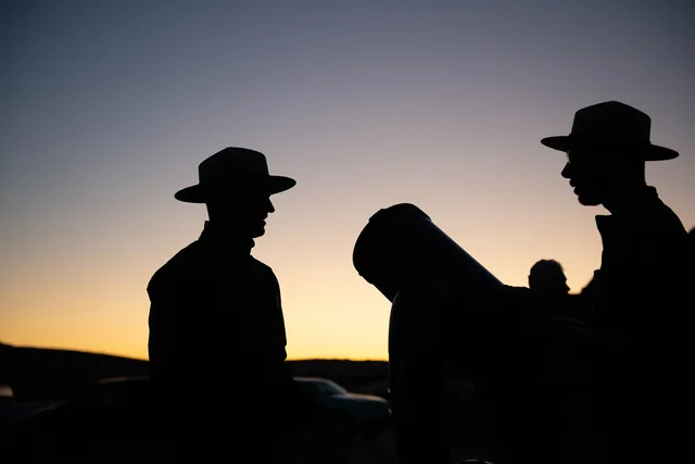
The National Park Service treats light pollution as a problem that reaches far past the city that makes it. The two workhorse tools are Dark Site Finder and lightpollutionmap.info. The second one holds the layer menu, and the VIIRS night-light layers sit in it.
Three quiet errors: national scale, pinned address, stale layer
Most light pollution maps open on a national view where every rural county looks equally black. Readers pick a blob and start planning. The scale only resolves when you zoom until highways and small towns appear.
Map Errors That Hide Darkness
National view
- Rural county
- uniformly black
- Address pin
- park name
- Layer date
- 2015 snapshot
Zoomed-in view
- Rural county
- highways and towns
- Address pin
- visitor center or yard
- Layer date
- new streetlights
One routine catches all three errors in about two minutes.
Three quiet errors
- Go to lightpollutionmap.info and open the layer menu.
- Set the layer to the newest VIIRS option and read the date stamp beside it.
- Zoom to street level until roads and driveways resolve.
- Read the color under the exact spot where you will park, not the park center.
The second quiet error is the address search. Type a park name into Light Pollution Map, and the pin often lands on a visitor center, a maintenance yard, or a county road. The Bortle class you read belongs to that pin.
You arrive at a paved lot with floodlights and forty cars. That only shows up on arrival. More first-trip habits like it are collected in stargazing travel mistakes tips.
The third looks perfect and stays hidden for months or seasons. Every map carries a layer date. Dark Site Finder draws on the 2015 World Atlas, and the classes it prints follow the Bortle scale, where Bortle 1 is the darkest class. A town that replaced its streetlights or added a warehouse since that snapshot still reads dark.
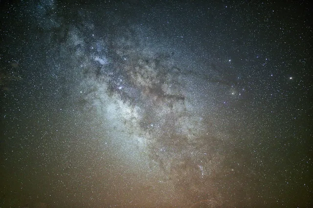
The gap between classes is wide. A Bortle 2 site typically shows stars to about magnitude 7, with the Milky Way showing clear structure. A Bortle 4 site typically stops near magnitude 6, and the Milky Way fades to a faint band. These are typical limits, and haze or poor eyesight lowers them.
Sky glow grows slowly, so the loss can stay hidden for a season or more.
Example: two readings of the same Utah site
A reader checks ground outside Torrey, Utah, for a July trip. The 2015 layer shows a Bortle 2 core with a Bortle 3 edge. Switch to the newest VIIRS layer and the core holds while the eastern edge shifts a class. Current satellite imagery shows a new distribution center two miles east. Same coordinates, same trip, different nights.
Same Utah Site, Two Layers
2015 layer
- Core
- Bortle 2
- Eastern edge
- Bortle 3
- Cause
- old snapshot
Newest VIIRS layer
- Core
- Bortle 2
- Eastern edge
- one class brighter
- Cause
- new distribution center
The expensive ones
Moon phase is the costliest error and the easiest to fix. A full moon over a Bortle 2 site gives a sky about as bright as a suburban backyard. Bookings are the trap, because lodging deposits and guided nights are often nonrefundable and priced for the new moon window.
The second is buying darkness with distance. Readers cross three states for a certified park when a state forest ninety minutes away sits at Bortle 3. Fuel, a motel night and a day of leave add up. Cost patterns for these trips are worth reading before you commit: stargazing travel mistakes cost.
The third is a permit or fee assumption. Organized stargazing events and commercial photography on public land can require a special use permit, and after-hours access sometimes carries a fee. Confirm in writing before you pay a guide.
Verify the permit with the land manager, not the guide. National Park Service permits run through the park superintendent's office. Bureau of Land Management permits run through the local field office. Forest Service permits run through the district ranger office.
Recreation.gov lists fees and reservations for many federal sites. What each office requires depends on group size, dates, and whether you sell the images or the footage.
Whole-night losses: smoke, cloud, terrain, season timing
Smoke is invisible on a glow map. Western wildfire smoke crosses the country and turns a clear sky into brown haze. No map shows it, and no guide refunds the night.
Cloud and haze history is the second day-killer. A coastal site can be dark and fogged in for weeks. Check a clear sky chart plus the local cloud record for your exact week.
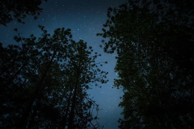
Terrain is the third. Maps are flat. A valley campsite ringed by ridges cuts the sky you came for.
Season timing needs the same check. astronomy itinerary building time matches months to targets and to moon-free windows.
What would have prevented each
Each failure above has one cheap fix, applied before booking.
- Set the layer to the newest VIIRS option and read the date stamp it shows.
- Zoom to maximum and read the color under the exact spot where you will park.
- Cross-check the pin against satellite imagery and note the nearest named junction.
- Check moon phase, moonrise and moonset for the night you booked.
- Two tools agree on the Bortle class at the site.
- The newest and oldest layers give the same reading.
- Smoke and cloud forecasts look clear for the travel dates.
- The permit or fee question is answered in writing.
A sky with no light is not a sky with no clouds.
The National Park Service night skies pages list protected parks by state, a faster start than scanning a map.
Packing is the last hidden cost. astronomy itinerary building packing argues for loading the car in reverse order, which pays off when you set up after dark.